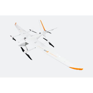
P60
Category: Drones
Model: P60
The P60 Surveying and Mapping System is a next-generation, high-capacity fixed-wing unmanned aerial vehicle (UAV) developed by CHCNAV around the core design principles of portability, extended endurance, and operational simplicity, the system features seamless integration with proprietary sensor payloads—thereby significantly enhancing efficiency and reliability in field data acquisition. Its applications span multiple domains, including real-world 3D reconstruction, topographic mapping, engineering surveying, digital twin implementation for water resources management, and mine surveying and volumetric measurement.