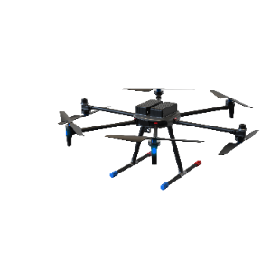
Real-time 2D/3D Reconstruction System (UAV Unit)
Category: Drones
Model: GAD-CH-500
The RS500 is a professional-grade six-rotor industrial drone developed for applications in surveying and mapping, geoinformatics, emergency response, military operations, water conservancy, and environmental monitoring. The platform features a high-strength material construction and a foldable structural design, with a maximum payload capacity of 5 kg (expandable to 8 kg). With an endurance of 70 minutes at no payload, it enables rapid deployment, single-operator field missions, and cross-platform battery compatibility, providing reliable support for efficient emergency mapping and integrated surveying in complex environments.