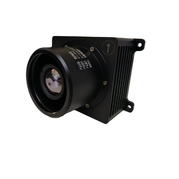
Drone Intelligent Visual Navigation System
Category: Mission Payload
Model: KT-300
The intelligent visual navigation system performs real-time matching and positioning by comparing airborne infrared images with reference satellite imagery. It provides autonomous navigation information—such as position and attitude—for UAVs and other aircraft. This system enables accurate navigation even in GNSS-denied environments, offering unlimited operational time and range, with positioning accuracy better than 10 meters. By leveraging advanced intelligent algorithms and low-cost, low-power, lightweight airborne infrared cameras and onboard computing devices, the system is well-suited for a wide range of platforms, including UAVs, manned aircraft, and cruise missiles.