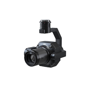
禅思 P1
Category: Mission Payload
Model: 禅思 P1
New benchmark for full frame aerial surveying The DJI P1 integrates a full frame image sensor and a three-axis gimbal, supporting multiple fixed focus lenses, achieving high-performance and multi-purpose aerial survey loads. Paired with latitude and longitude M300 RTK and DJI intelligent mapping software, it brings high-precision, high-efficiency, and integrated aerial surveying solutions, setting a new benchmark in the field of aerial surveying.