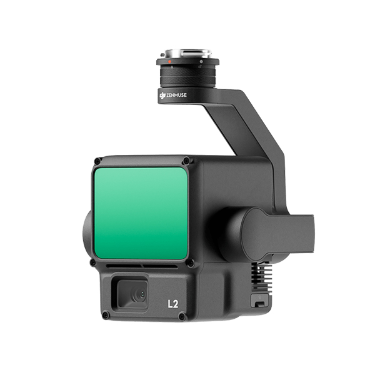
禅思 L2
Category: Mission Payload
Model: 禅思 L2
The airborne high-precision mapping LiDAR Zenith L2 integrates a frame type LiDAR, a high-precision self-developed pose system, and a 4/3 CMOS visible light mapping camera, endowing the DJI flight platform with more accurate, efficient, and reliable 3D data acquisition capabilities. Combined with DJI Smart Map, an integrated solution for 3D data acquisition and high-precision post-processing can be constructed.